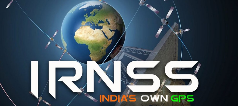
7th & Final IRNSS Navigational Satellite Launched Successfully; US GPS Monopoly Ends

In 1999, when Pakistani troops captured Kargil hills, India needed GPS data of the region, and called US for help. At that time, US was the only nation to have accurate GPS data of any region in the world.
US refused to give GPS data to India; and at that moment, India decided to create it’s own satellite navigational system.
Yesterday, ISRO successfully launched IRNSS-1G, which is the 7th satellite under IRNSS (Indian Regional Navigation Satellite System). 1-G can has a lift-off mass of 1,425 kg.
Thus, India has now successfully launched a constellation of satellites in geosynchronous and geostationary orbits which will enable Indian military and civilian users (and partners) access to a dedicated satellite navigation system. Entire IRNSS project cost Rs 1420 crore.
We had earlier reported about this launch last year; which has now turned into a reality.
The Launch
At 12.30 PM, 44.4 meters tall and 320 tonnes heavy PSLV rocket was launched from Satish Dhawan Space Centre at Sriharikota. Amidst cheers from ISRO scientists and media personals, PSLV raced towards the sky, picking up momentum every second.
Exactly 20 minutes later, IRNSS-1F, the sole passenger of PSLV satellite, was ejected at an altitude of 488.9 km. Soon, solar panels were deployed and Mission Control Facility (MCF) at Hassan in Karnataka took over the control.
Till this satellite is placed at the appropriate orbit, MCF will manage it, firing its on-board motors and ensuring satellite’s orbit raising operations.
Applications of IRNSS
As per ISRO, IRNSS, once fully functional, will have the following applications: terrestrial, aerial and marine navigation, vehicle tracking and fleet management, terrestrial navigation for hikers and travellers, disaster management, integration with mobile phones, mapping and geodetic data capture and visual and voice navigation for drivers.
All 7 satellites have a life-span of 12 years, and has two payloads for navigation and ranging. Using L-5 band and S-band, military and civilian users on Earth can receive its signals. Besides, rubidium atomic clock, which is a highly accurate clock, is part of the navigation payload.
The full IRNSS system constitutes of 9 satellites: 7 in space, and 2 on ground.
This ‘Indian GPS’ can cover entire India, and 1500 kms beyond the borders as well.
Earlier, 6 satellites were launched under IRNSS:
- IRNSS-1A launched on July, 2013
- IRNSS-1B launched on April, 2014
- IRNSS-1C launched on October, 2014
- IRNSS-1D launched on March, 2015
- IRNSS-1E launched on January, 2016
- IRNSS-1F launched on March, 2016
- IRNSS-1G launched on April, 2016
IRNSS will now compete against US’ GSP System, Glonass of Russia and Galileo of Europe (functional in 2020) as well as China’s Beidou.
India has decided to name it as ‘NAVIC’ (Navigation with Indian Constellation); which is derived from Sanskrit word navik, meaning seafarer.
IRNSS is certainly, a new chapter in Indian space navigation history.

Sometimes, refusal by someone motivates us to do big things. We created “Navik” and “Cryogenic Engine” only because of refusal. I hope this will motivate us to invent more large things by own.