Google Street View Launches In India Across These 10 Indians Cities! Plans To Expand To 700,000 Kms, 50 Cities In 2 Years
Google’s Street View is finally available in India a decade after it was prevented from capturing data for its Street View services.
Contents
Second coming
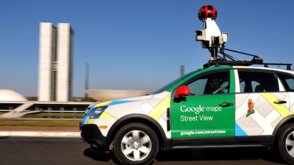
Street view offers a 360-degree interactive panorama feature initially for 10 Indian cities with data from local partners Tech Mahindra and Mumbai-based Genesis International.
Its entry into India is facilitated by the new National Geospatial Policy, 2021 which lets local companies collect this kind of data and license it to others.
This also makes India the first country where Street View has been enabled primarily by partners.
As part of Project Gullify, Street View will initially launch for 10 Indian cities and be rolled out to 50 by end of the year, mapping over 700,000 km in two years.
New rules
Miriam Karthika Daniel, VP of Google Maps Experiences said that both domestic partners offer “fundamental geospatial technologies and experience, as well as logistics experience” and the “ability to scale across a lot of areas simultaneously”.
Birendra Sen, Business Head, Business Process Services, Tech Mahindra, said that they used Mahindra vehicles to map the cities.
Daniel explained how the new Geospatial Policy helped with this endeavor.
As mentioned it requires that local entities be the ones that collect all the data.
They have to collect it at a certain level of fidelity depending on the type of camera.
Local partners’ involvement
Even the camera configurations are done by the partners.
The policy even cites areas where data can be collected and where they can’t like government, defence and military areas.
So the partners know exactly where they can go and collect [data], which is a majority of India.
In 2011 Google paused its Street View efforts in India, following objections raised by the Bengaluru police.
Unable to compete with Google
Then Indian players like Wonobo and later MapMyIndia stepped in and began offering their own versions of interactive panorama maps.
However Street View, given its integration with Google Maps, is superior since it will help users gain a better understanding of road conditions and discovery of local businesses.
Key features
Other features include speed limit data in maps for Bengaluru and Chandigarh, as well as road congestion data in nine cities.
Further, it is working on the environmental insights explorer tool which measures emissions based on traffic patterns, giving planners a better idea of how to reduce emissions in cities.
It will also start showing localised street-level Air Quality Index (AQI) numbers in a few cities.
Applying new-age tech
Street View will help improve Google Maps as it will be able to parse data on road conditions etc which is often not clear in satellite imagery.
Daniel said that Google will apply technologies that have been in development for more than a decade and use AI and ML to parse the data such as info on road conditions and addresses and then out these on the map.
Google may take this partnership model to other parts of the world.
Comments are closed, but trackbacks and pingbacks are open.