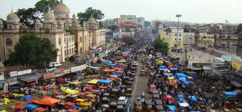
After Bengaluru, it is now Hyderabad opting to use Google Maps’ real-time information to run traffic signals in the city.
This is estimated to bring down the traffic and congestion on the roads of the city, and by helping commuters reach their desired destination safely and quickly.
Given the heavily increasing traffic that results in numerous incidents, the Cyberabad traffic police have stressed upon the need of employing technologically advanced systems for better management of traffic.
Read all about the city’s newest development right below!
Cyberabad Traffic Signals Will Run On Data From Google Maps
The ever increasing traffic has always been a huge issue in cities, especially those known for their IT hubs. Bengaluru has been the first city in India to implement the real-time traffic data from Google Maps to modify the traffic signals and their timings.
Next in line is Cyberabad, which is an area Hyderabad with a growing IT hub. The Cyberabad traffic police and the Society for Cyberabad Security Council have joined hands with Google for the implementation of these signals across Cyberabad.
Google’s centre head Arjit met up with the Cyberabad Commissioner of Police, VC Sajjanar and DCP Cyberabad Traffic, SM Vijay Kumar and SCSC Secretary Krishna Yedula, after which the whole initiative was given the go-ahead.
This decision to employ a dynamic signalling system, however, has been finalised despite there being delays in the Integrated Traffic Management System (ITMS).
How Will The Dynamic Signalling System In Cyberabad Work?
The data from Google Maps will be picked and used to determine the status of the traffic in the peak areas. This will help decide the time spans of the traffic signals. For instance, if the traffic from Lingampally to Gachibowli is less at the IIIT junction, the green signal will run for a lesser time as per the data provided by Google Maps.
As per officials, “The dynamic traffic signalling using Google data was tested at Gachibowli junction for two months at the end of last year with great success. Approximately, around 30 per cent waiting time and 50 per cent of queue lines were reduced, as per the test results.”
This system will also help in detecting the traffic issues on the roads, any events happening at crucial locations and also offer data to road engineers that will contribute to the development of roads.
We’ll keep you informed as more updates come in!
Comments are closed, but trackbacks and pingbacks are open.